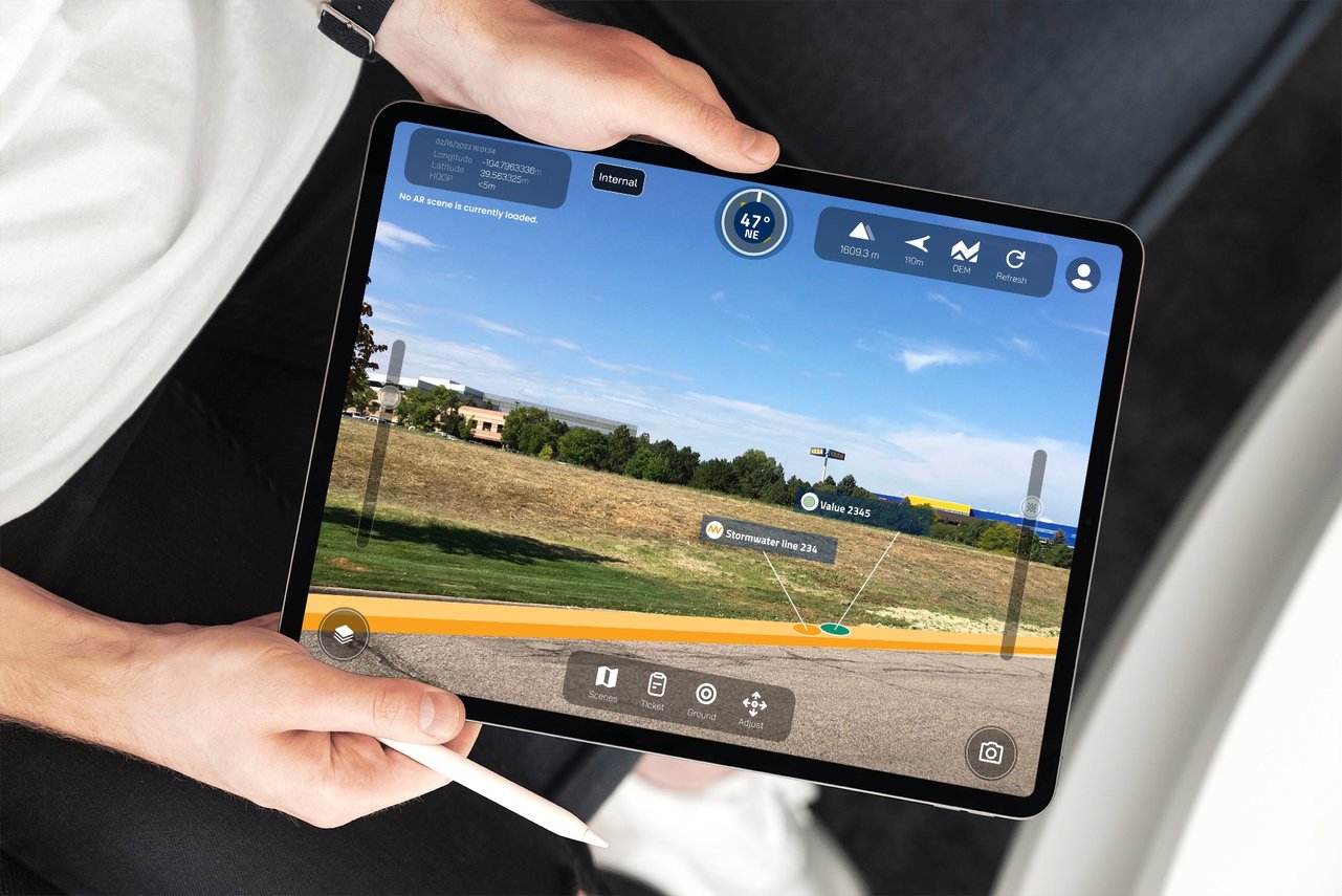
Augmented reality for ArcGIS® Field Maps.
Meet Z-Focus.
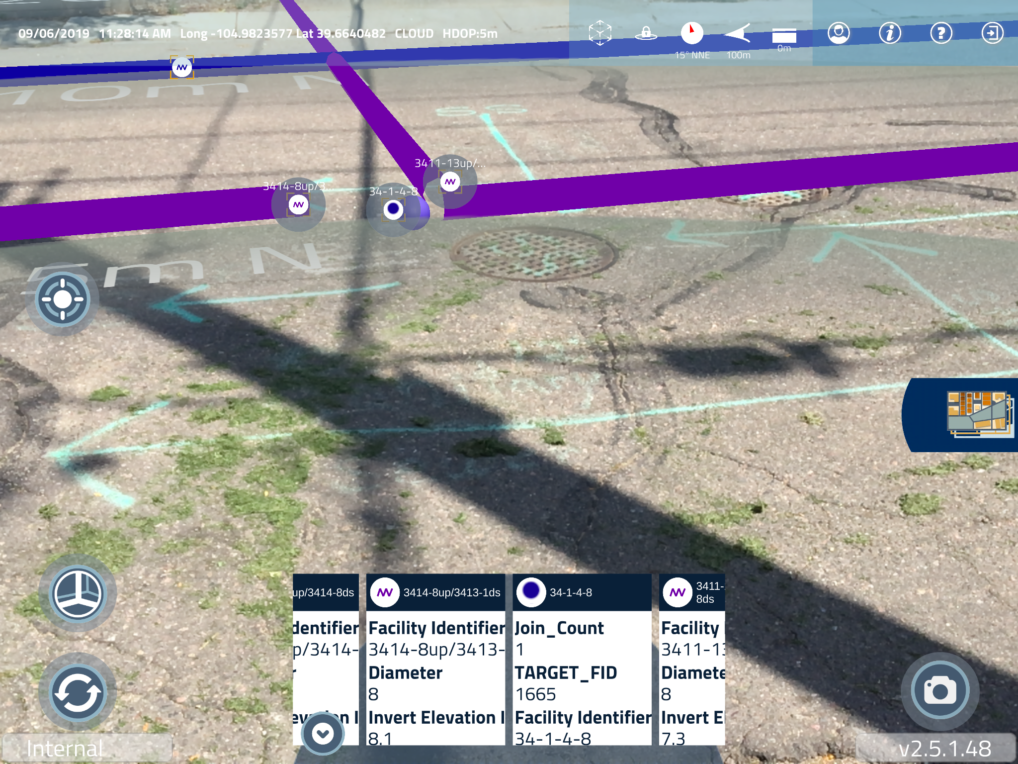
Video of Z-Focus being used in the field to view ArcGIS® data in augmented reality.
Worksites look better in Z.
Uncover a dynamic view of:
Boundaries
Pipelines
Buried Utilities
Water Systems
Hidden Infrastructure
Deliver a new dimension to your field work by using ArcGIS® Field Maps integrated with augmented reality.

Advanced Esri Integration
Compatible with ArcGIS® Online and ArcGIS® Enterprise.
Uses Esri Identity to access Web Maps securely within your organization.
Your organization’s data stays with you.

Easy to Use
Augmented reality simplified.
Intuitive user interface makes AR accessible to users of all skill levels.
Technology should enhance work, not complicate it.

Affordable
$19.99/monthly subscription
Volume pricing available upon request.
No expensive proprietary equipment or costly licensing required.
System Requirements:
iPad version 15.0 or later
ArcGIS Online
ArcGIS Field Maps (editor-level access if collecting data)
ArcGIS data represented in points, lines, or polygons
A GNSS device is recommended for sub-3-meter accuracy
An active email app on your device


View your ArcGIS data in its real-world context.
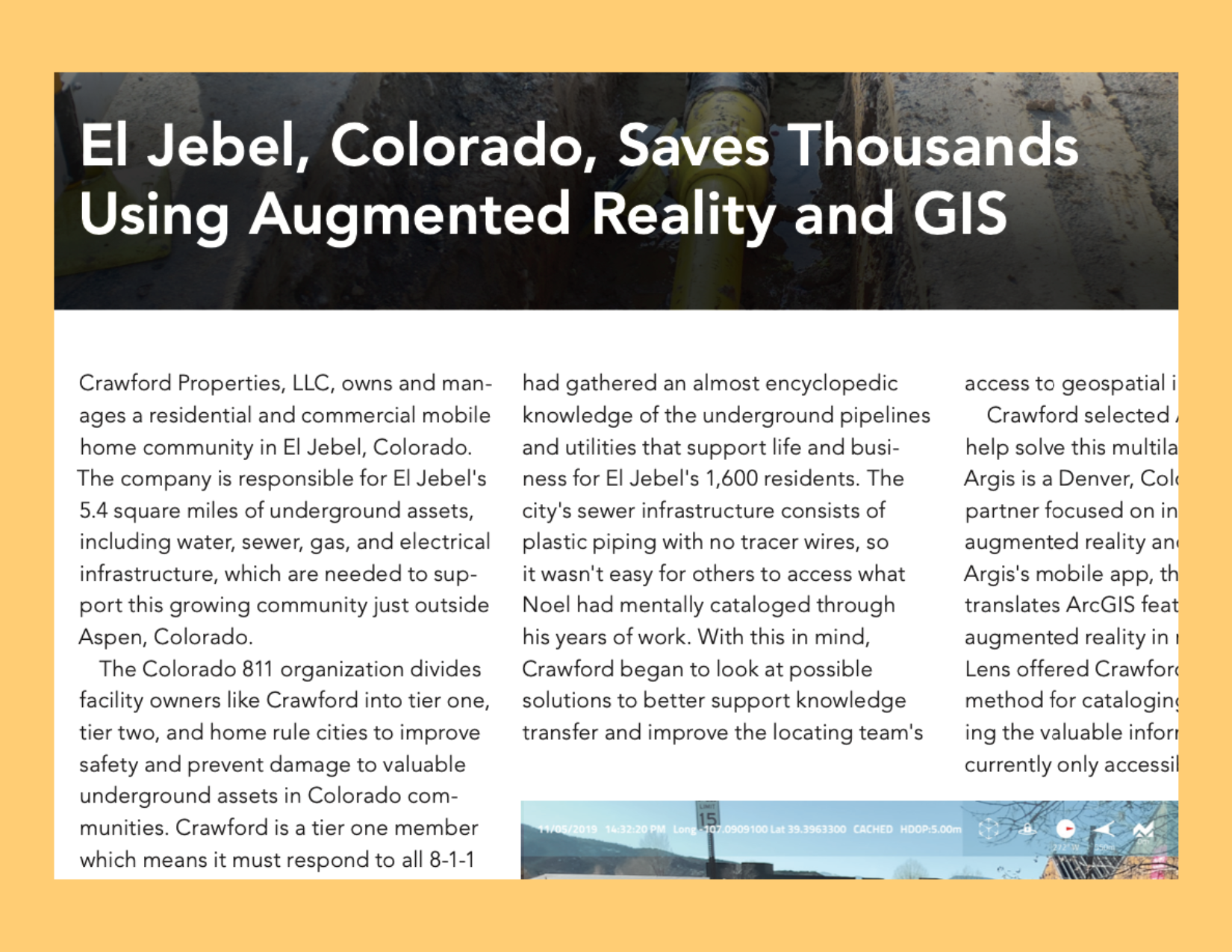
Augmented Reality Case Studies
Learn how organizations are leveraging the power of AR visualization. From public works to facility management to oil and gas pipelines and utilities, integrating augmented reality with field work offers real worksite ROI.